
Download APK Nerv Disaster Prevention Latest Updates, Settings Overview & App Review
Nobody installs a disaster app for fun, and that is exactly why the first screen matters so much. When a phone buzzes at 2 a.m. with a shaking warning, you do not want a menu, a banner, or a clever animation. You want one clear sentence, one clear action, and a map that shows where the risk actually is. I spent a week living with Nerv Disaster Prevention on a mid-range Android phone, checking it on calm days and reading its alerts the way a household in Japan would, and the thing that stayed with me was how quiet it felt. It does not shout for attention when nothing is happening. It waits, and when something does happen, it puts the useful facts first.
This guide is written for two kinds of reader. The first lives in Japan, or visits often, and needs earthquake, tsunami, typhoon, and heavy rain information in one place. The second lives somewhere else and wants to understand what a well-built disaster app looks like before choosing one for their own region. I will walk through the alert types, the hazard maps, the checklists, and the settings that actually change behaviour, and I will be honest about the limits too. A phone app cannot stop an earthquake, and no alert arrives before the ground moves in every case. What it can do is buy you seconds, show you a safer route, and remind you on a calm Sunday to pack the bag you would need on a loud Tuesday.
How Nerv Disaster Prevention turns official Japan alerts into a calm phone screen
Nerv Disaster Prevention is built around information issued by Japanese public bodies, above all the Japan Meteorological Agency, known as JMA. That matters because the app is not guessing at the weather or inventing its own shaking scale. It passes on earthquake early warnings, tsunami advisories and warnings, typhoon information, heavy rain warnings, landslide risk, and volcano notices, and it presents them in a single timeline so you can see what is new, what has changed, and what has been lifted. On my phone the timeline was the screen I opened most. Each entry carried a time, a place, and a short plain-language summary, and tapping it opened a map and a longer explanation.
Earthquake early warning settings in Nerv Disaster Prevention
The earthquake early warning is the feature most people install the app for, so it deserves a careful look. When JMA detects a strong quake, it can issue a warning seconds before the shaking reaches your area. Those seconds are real, and they are also limited. If the epicentre is close to you, the warning may arrive at almost the same time as the shaking, or just after it. If the epicentre is further away, you may get ten seconds or more. I kept that range in mind while testing, because an app that promises a fixed number of seconds for every quake is selling comfort, not facts. Nerv shows the estimated arrival time and the expected intensity, and it updates that estimate as more data arrives, which is honest and useful.
What an early warning can and cannot do
An early warning can tell you to drop, cover, and hold on, to move away from shelves and windows, and to stop a car in a safe place. It cannot tell you exactly how strong the shaking will be at your front door, and it cannot warn you about a quake that starts directly beneath you before the sensors have had time to react. Treat the warning as a prompt to act, not as a precise forecast. In my week of testing I also noticed that the warning sound is deliberately distinct from a normal notification. It is loud, it repeats, and it is hard to mistake for a message from a friend. That is a good thing at 2 a.m., and it is why you should hear it once in a test before you hear it for real.
Setting the alert threshold for your area
Open the settings, find the earthquake alert section, and choose the minimum intensity that should trigger a loud alert for each saved area. For a home area, many people pick intensity 3 or 4, so small shakes that need no action stay quiet while stronger ones break through. For a distant area you only watch out of interest, a higher threshold keeps the phone calm. I set home to the lower end and a second city I visit to a higher one, and that split worked well. Change one setting at a time, then wait a day and see how it feels.
Testing the sound without causing a panic
Use the test alert or the sound preview inside the settings, and do it when the people around you know what is happening. Play it once at the volume you would actually use, check that it plays through your phone speaker even when the phone is on silent if that option is offered, and confirm that the vibration pattern is one you will notice in a pocket. I did this on a weekday afternoon, told my family first, and was glad I had: the sound is meant to cut through sleep, and it does.
Tsunami, typhoon and heavy rain alerts explained
A tsunami warning is different from an earthquake warning, and the app treats it that way. After a large offshore quake, Nerv shows the tsunami advisory or warning level, the expected arrival time for coastal areas, and the forecast height. The rule that matters most is simple and does not change: if you are near the coast and you feel strong shaking that lasts a long time, or you receive a tsunami warning, move to high ground or a tall concrete building right away and do not wait to see the sea. The app supports that rule with maps, but it does not replace it.
Typhoon and heavy rain alerts work on a slower clock, which makes them easier to act on. A typhoon track gives you a day or two of warning, and a heavy rain warning gives you hours. Nerv shows the track, the expected rainfall, and the areas under warning, and it links that to landslide risk where the ground is already soaked. In practice I used this section the way I would use a weather forecast with consequences: check it in the morning, check it again before a journey, and act early if a warning covers the route. For a closer look at rain and radar in general, Weather Radar Meteored News is a useful companion, because radar shows where the rain is now while the warning tells you what the rain might do next.
Typhoon tracks, rainfall and when to stay home
Volcano notices, landslide risk and the warnings people miss
Hazard maps, evacuation shelters and offline planning in Nerv
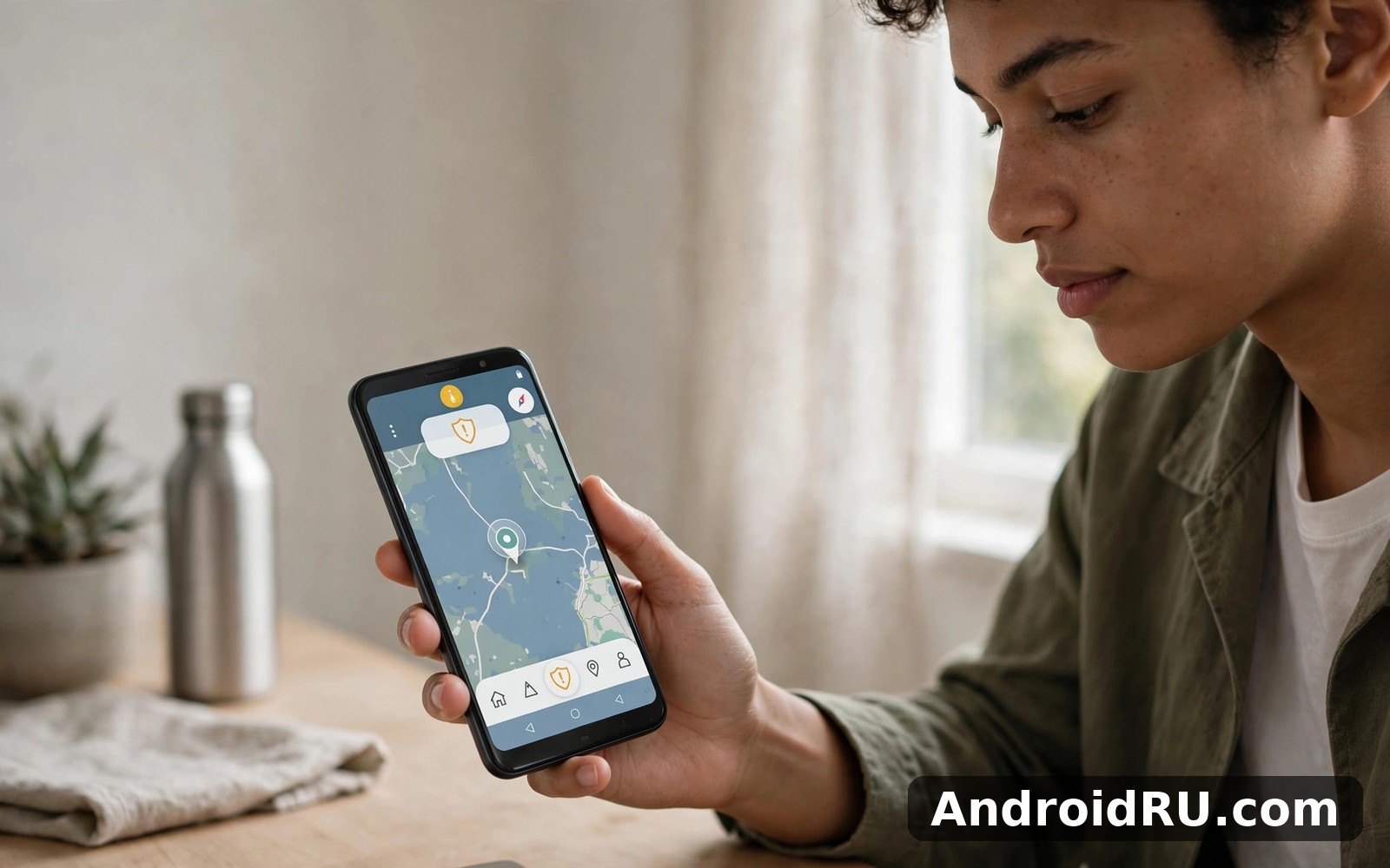
The hazard map is where Nerv earns its place on a phone that already has a weather app. A weather app tells you it will rain. A hazard map tells you which streets in your neighbourhood could flood, which coastal blocks sit inside a tsunami inundation zone, and which slopes carry a landslide risk. Tap your home, then tap the flood layer, then the tsunami layer, then the landslide layer, and you will see a picture of your area that no forecast can give you. I did this for my own street and found a low-lying road I had driven through for years without thinking about it; after seeing the map, I now take a different route when a heavy rain warning is active.
The map also shows evacuation shelters, and this is where a calm-day check pays off. Open the map, find the two shelters nearest your home, and walk to one of them. Note how long it takes, which roads you would use, and whether any part of the route crosses a river or a low bridge. A shelter you have visited once is a real plan; a shelter you have only seen as a pin on a screen is a hope. If you want a map that works without a connection for everyday travel as well, Organic Maps・offline Map GPS covers that need, and the habit of saving maps for offline use transfers directly to disaster planning.
Reading a flood hazard map without a geography degree
Flood maps use colour to show expected water depth, and the legend is the key. A pale shade may mean ankle-deep water on a road, while a dark shade may mean water above waist height in a ground floor. Read the legend first, then look at your home, then look at the roads you would use to leave. If your usual exit crosses a dark-shaded area, pick a second exit now, on a dry day, and save it. I also checked the map for my workplace and for my child’s school, because a plan that only covers home leaves the rest of the day unplanned. The app lets you save more than one area, and I used that for exactly this reason.
Finding shelters before you need them
| Warning type | Main source | Typical lead time | First action |
|---|---|---|---|
| Earthquake early warning | JMA seismic network | Seconds, sometimes none | Drop, cover and hold on |
| Tsunami warning | JMA after offshore quake | Minutes to over an hour | Move to high ground at once |
| Typhoon | JMA track and rainfall forecast | One to three days | Secure the home and charge devices |
| Heavy rain and flood | JMA warnings and river data | Hours | Avoid low roads and riversides |
| Landslide risk | JMA soil and rainfall data | Hours after heavy rain | Leave slopes and valleys early |
| Volcano notice | JMA volcano level | Days to weeks of watch | Stay out of the restricted zone |
Checklists, emergency contacts and household preparation
The checklist section is the quiet heart of the app, and it is the part most people skip. That is a shame, because a checklist is the only feature that helps you before anything goes wrong. Nerv offers checklists for an emergency bag, for the home, and for evacuation, and each one is a list of ordinary things: water, food that needs no cooking, a torch, batteries, a first-aid kit, copies of identity papers, cash in small notes, a phone charger, and medicine you take every day. I worked through the bag checklist on a Sunday afternoon and found three gaps in under ten minutes: no cash, no spare batteries, and no copy of my insurance card. Fixing those three cost less than a takeaway meal.
A checklist that fits a real household
For the morning routine that keeps all of this alive, a simple alarm helps more than willpower. Alarm Clock is the kind of plain tool that can carry a weekly reminder without fuss, and I used it for the bag check until the habit stuck.
Latest updates, notification sound and battery behaviour
Nerv Disaster Prevention pros and cons after a week of daily use
- Official Japan alert data presented in one timeline, so earthquake, tsunami, typhoon, and rain warnings do not live in four different apps.
- Hazard maps for flood, tsunami, and landslide risk, with shelters marked, which turn a forecast into a route you can walk.
- Checklists and emergency contact storage that help on calm days, when preparation is cheap and easy.
- A distinct, loud alert sound for the warnings that matter, with quieter handling for routine information.
The limits are real too, and a fair review should name them. The app is built for Japan, so if you live elsewhere, much of its value does not travel with you; the alert feed, the hazard maps, and the shelter data are tied to Japanese public data. The interface is in Japanese in places, and while the key warnings are clear, some of the longer guidance is easier to read if you understand the language. A third limit is one no app can fix: an early warning cannot arrive before a quake that starts beneath your feet, and a map cannot tell you whether a specific road is blocked right now. Use the app as one layer of preparation, alongside local council information, a radio, and a paper plan.
Frequently asked questions about Nerv Disaster Prevention
Does Nerv Disaster Prevention work outside Japan?
You can open the app outside Japan and read the information for Japanese areas, which is useful if you have family there or you are planning a trip. The alerts, maps, and shelters are built on Japanese public data, so they do not cover other countries. If you live outside Japan, keep the app for Japan planning and use your local emergency app for alerts at home.
Will the earthquake alert always arrive before the shaking?
No, and any app that promises that is misleading you. The warning can arrive seconds before the shaking when the epicentre is some distance away, and it can arrive at the same time as the shaking, or just after it, when the epicentre is close. The warning is still worth having, because even a few seconds is enough to move away from a shelf or to hold on to something stable.
How do I stop routine alerts without silencing earthquake warnings?
Open the notification settings inside the app, then open the system notification settings for the app on your phone, and treat the channels separately. Keep the earthquake and tsunami channels loud and persistent, and turn down or silence the routine weather and information channels. Test the earthquake sound once after you change anything, so you know the important channel still breaks through.
My verdict and the four jobs to do today
My verdict is positive and specific: Nerv Disaster Prevention is a calm, honest, well-built tool for anyone who spends time in Japan, and it is worth the fifteen minutes it takes to set up properly. It does not try to entertain you, and it does not pretend it can do more than it can. It shows you the official warning, it shows you the map, and it reminds you to pack the bag. That is the whole job, and it does it well. The limits are the limits of the data and the language, not of the design, and they are easy to live with once you know them.
Do these four jobs today, on a calm day, and you will have done most of the work. First, save your home, work, and school areas and set the alert threshold for each. Second, hear the earthquake sound once so the real one never surprises you. Third, open the hazard map, find two shelters, and walk to one of them. Fourth, pack or check the emergency bag and put a paper copy of your contacts and shelter route inside it. When those four are done, Click here to download the Nerv Disaster Prevention app is the step that starts the process, and if you want a radar companion for the rain warnings, Click here to download the Weather Radar Meteored News app covers that side, while Click here to download the Organic Maps・offline Map GPS app gives you a map that works when the connection does not.